Upload 2022-08-25: JunoCam Perijove 44, cylindrical maps of images #56 to #59, longitude range 135°E to 180°E, latitude range 60°S to 60°N, 180 pixels per degree, gamma=2
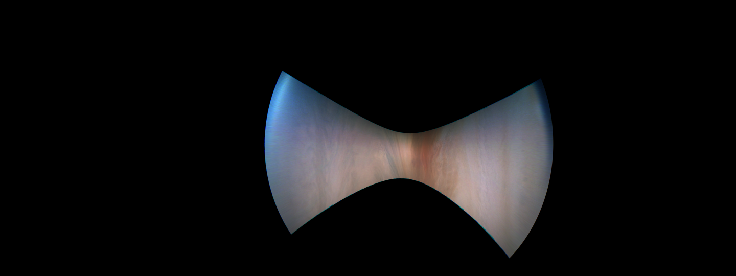
#00056
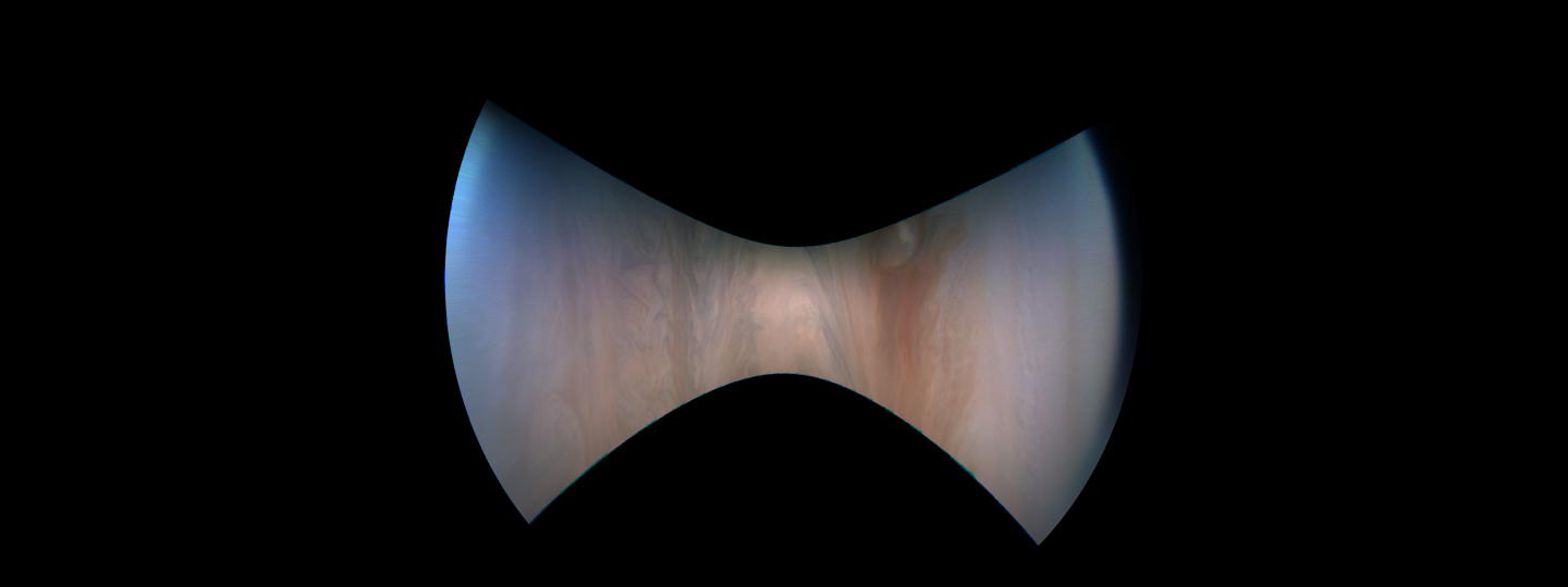
#00057
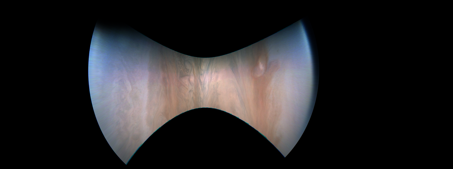
#00058
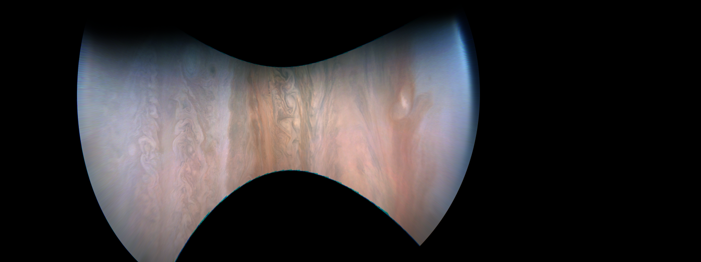
#00059
Terms of Use
The images are allowed to be treated as being in the public domain.
However, crediting the images to "NASA / SwRI / MSSS / Gerald Eichstädt",
appears appropriate.
Add your name or data sources to the credit list, whenever you create derived works.
Downloading, viewing, distributing the files, as well as creating derived work is on your own risk.