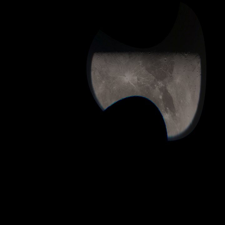
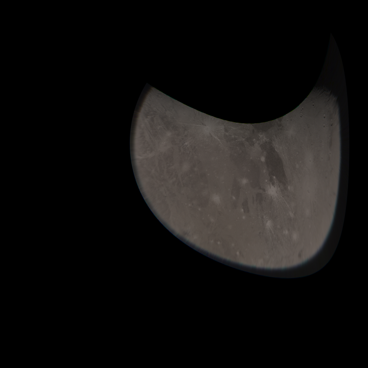
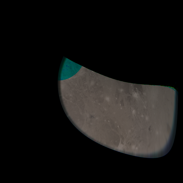
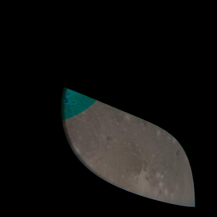
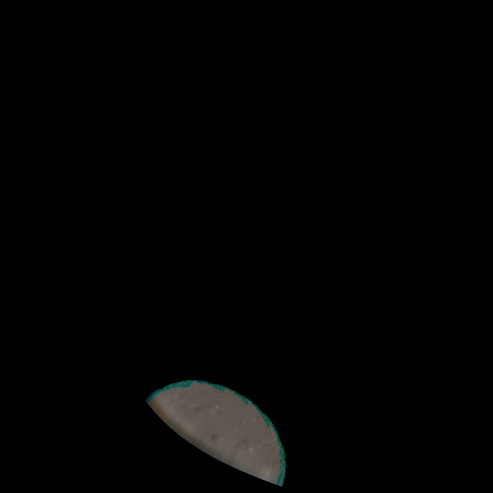
Upload 2021-06-10: JunoCam Perijove 34, Ganymede, decompanded cylindrical maps, north to the right, longitude cropped to range from 90 degrees west to 90 degrees east
#00001
#00001
#00002
#00002
#00003
#00003
#00004
#00004
#00005
#00005
Terms of Use
The images are allowed to be treated as being in the public domain.
However, crediting the images to "NASA / SwRI / MSSS / Gerald Eichstädt",
appears appropriate.
Add your name or data sources to the credit list, whenever you create derived works.
Downloading, viewing, distributing the files, as well as creating derived work is on your own risk.